
About
Goals & Objectives
Elements
Research & Public Engagement
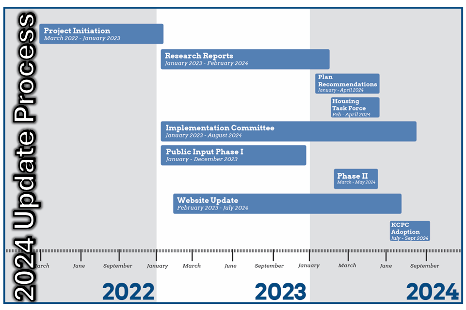
2024 Kenton County Comprehensive Plan
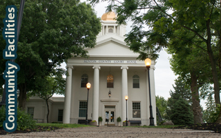
About
Have you ever wondered what a comprehensive plan is or why it matters to you? This section provides information on the plan, who uses it, how it is used, how it was created, and who crafted the plan. It also addresses some of the questions raised most often throughout the planning process. Click on the images below to find out more about the plan and how it was created.


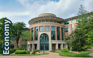
Goals & Objectives
Goals and objectives provide a plan’s general direction and framework for future recommendations within the comprehensive plan. The goals and objectives for Kenton County were updated for the first time in 40 years as part of Direction 2030 . Much work went into the process of updating this critical part of the plan. Click on the images below to find out more about the Goals and Objectives and how they were crafted.

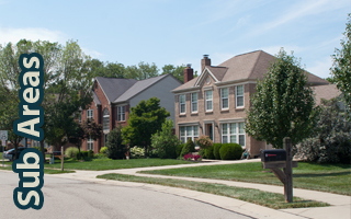
Elements
Goals and objectives provide a plan’s general direction and framework for future recommendations within the comprehensive plan. The goals and objectives for Kenton County were updated for the first time in 40 years as part of Direction 2030 . Much work went into the process of updating this critical part of the plan. Click on the images below to find out more about the Goals and Objectives and how they were crafted.


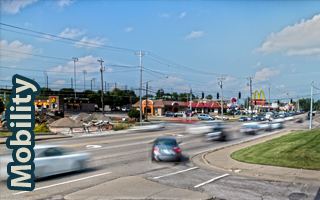


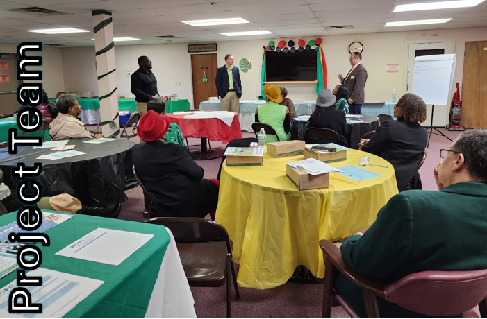
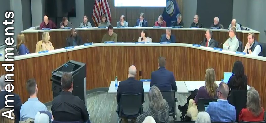
Research & Public Engagement
A cornerstone of planning is the ongoing public dialogue on matters that are affecting them. The main objective of public input is to improve efficiency, transparency, and public involvement in the overall comprehensive planning process. As a vital part of the Comprehensive Plan public involvement opportunities were held, yielding hundreds of participants, and countless public comments.
Please visit our 2024 Comprehensive Plan Update page for information about our research.